
Walnut ZIP Codes and Their Reach
Two ZIP identities matter in a Walnut ZIP code directory. They do not describe two neighborhood polygons. One supports ordinary street delivery. The other identifies the Walnut postal facility and PO-box role. The table keeps the postal function, city relationship, and research limit together.
| ZIP code | Areas or role | Post office | Notes |
|---|---|---|---|
| 91789 | Verified ordinary street-delivery ZIP used by Walnut civic addresses | Walnut Post Office, 280 S Lemon Ave | ZCTA extends far beyond Walnut |
| 91788 | Walnut postal-facility and PO-box ZIP | Same office, 280 S Lemon Ave, Walnut CA 91788-9998 | No 2020 ZCTA row; do not draw a neighborhood polygon |
The ZIP code directory begins with the postal function, then checks the city and parcel. A ZIP result without a verified street address can mix Walnut with another jurisdiction or describe a box rather than a home. Keep the ZIP as a filter, not a conclusion.
91789 Is Wider Than Walnut
The 2020 Census ZCTA relationship data gives the Walnut ZIP code mismatch a measurable shape. ZCTA 91789 covers about 41,095,406 square meters of land. About 22,871,098 square meters, or 55.65%, intersect Walnut. The remainder reaches Industry at about 18.48%, Diamond Bar at 11.81%, Rowland Heights CDP at 10.87%, Pomona at 2.46%, West Covina at 0.04%, and unincorporated or no-place land at about 0.69%, plus water.
That means a ZIP-wide directory result can mix at least five cities, one census-designated place, and unincorporated land. A place label, municipality, and ZIP code are different fields. A name paired with 91789 needs a city, street, or parcel check before it is described as Walnut.
Walnut ZIP 91788 Role
ZIP 91788 is a postal-facility or PO-box identity at the Walnut Post Office, not a mappable Walnut neighborhood. The research did not find a 2020 ZCTA row for it. Do not use a 91788 label to draw a residential boundary or to assume a person lives near the facility.
Retail hours are listed as weekdays 8:30 a.m. to 5 p.m. and Saturday 9 a.m. to 2 p.m. PO-box access is listed weekdays 5 to 7 and Saturday 5 to 5, with a 24-hour self-service kiosk. Hours can change, so a specific visit should be checked with the post office. A box address answers a delivery question, not a residence question.
Verify a Walnut ZIP Address
A ZIP code is only one part of an address. Use USPS address lookup to validate the delivery line, then compare the city and street with the assessor portal. Walnut civic examples on La Puente Road use 91789, but a city name alone should not decide a boundary question. Record whether the address is street delivery, a PO box, or a facility identity.
- Check the complete address through USPS address lookup and preserve the returned city and ZIP format.
- Run the address through the Los Angeles County Assessor Portal to resolve an AIN and situs.
- Compare the parcel location with the city or place field, not with the ZIP alone.
- Use the street-by-street chain for adjoining parcels or owner inquiry.
- Keep a ZIP code directory result labeled as delivery geography unless a source proves more.
The assessor accepts address or AIN, not a documented ZIP-wide resident search. ZIP is a useful narrowing clue, not an official people list.
Walnut ZIP People Search Limits
Los Angeles County's voter-status form requires last name, birthdate, house number, and ZIP. ZIP is an authentication field. It does not permit a visitor to browse a ZIP or list every registered voter inside it. Full voter data is limited to approved purposes under Elections Code sections 2188 and 2194, and commercial use is prohibited.
The State's voter-file process also requires an approved purpose. A statewide file has a $100 price. A specific-voter request can cover up to ten people per application and requires full name, birth date, county, and residence address. Countywide, precinct or district, and additional-file prices are listed by the Registrar of Voters. The public ZIP code directory should state these access limits instead of promising a ZIP roster.
Image context: the Los Angeles County voter information request page is the source for this county data-access view. It shows that a ZIP code sits inside a regulated product, not an open browse mode.
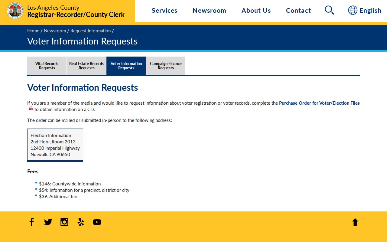
Use a voter data request only when its stated purpose qualifies. The self-status tool remains the proper route for a person's own check.
Walnut ZIP Assessor Limits
The Assessor Portal's Basic Search accepts an address or AIN, and Legal Search accepts an assessment legal description. The public ArcGIS parcel layers can be queried for geometry, situs components, and selected sales or building attributes, with a 1,000-record response maximum. Owner names remain absent from the public layer. The research found no local official resident portal that supports a true name search across a ZIP code.
Use ZIP to narrow a list of addresses, then resolve each parcel. Keep the result tied to the city and AIN. If the question shifts to who owns one exact parcel, use the specific-property inquiry. If it shifts to a whole street, move to the Walnut street directory workflow. The ZIP code directory owns the boundary explanation, not the parcel chain.
Walnut ZIP Legal Geography
Situs is the physical parcel location. A mailing address is where tax correspondence goes. A deed legal description is the recorded land description, which can survive a street-name change or address format change. These three fields can point to the same property while answering different questions.
- ZIP code
- A USPS delivery construct that may cross city and place boundaries.
- ZCTA
- A Census generalized statistical area that approximates a ZIP for data, not delivery.
- PO-box ZIP
- A postal identity tied to box or facility service rather than a mapped residential area.
- Carrier route
- A delivery routing concept, not a public resident directory or city boundary.
When the three records disagree, do not force them to match. Keep the ZIP for delivery, the situs for parcel location, and the legal description for recorded land. A current address still needs the street and city fields checked together.
Walnut Tracts Beneath the ZIP
Walnut's legal geography predates the ZIP code. Rancho La Puente and Rancho de los Nogales supplied land descriptions before modern streets. Later plats and tract names connect those descriptions to lots, blocks, AINs, and present addresses. Examples include Three Oaks Tract 50867, Rodeo Ridge Estates Tract 48286, Camino de Teodoro Tract 72827, and Tract 26586.
Walnut is roughly 8.9 square miles between the San Jose Hills and Puente Hills. Its equestrian and ranch history makes legal descriptions useful when a ZIP-only search becomes too broad. No stable official map-document URL or verified local ZIP split chronology was found for each tract, so treat the names as research clues and ask the custodian for the map or plat.
Walnut ZIP Safety Map Limits
Some state tools use ZIP, city, or map geography for a narrow public purpose. California's Megan's Law site is an official offender-registry channel with statutory search and use warnings. Its map or address-radius function does not make it a Walnut residents directory. Registry fields should never be expanded into a broader claim about neighbors or households.
Image context: the California Megan's Law website is the source for this geographic-warning capture. It belongs in a ZIP research file only as a clearly labeled, purpose-specific public registry.
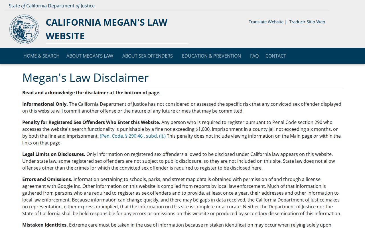
A map marker is not a residence list. Keep registry information within its legal use and source context.
Walnut ZIP Privacy Clues
Safe at Home provides substitute mailing and confidential voter procedures for qualifying participants. It does not erase already-public deeds, and a deed's legal description can still locate land. Voter home and contact fields are protected under Elections Code sections 2188 and 2194. A ZIP code directory must not try to reverse-engineer a protected address from a parcel, map, or news item.
California's CCPA rights and the DROP platform address private broker databases. They do not rewrite the Assessor, RR/CC, court, or vital-record source. If a private result is wrong or invasive, use its official removal route and preserve the confirmation. If an official record is wrong, contact the custodian.
Image context: the California Safe at Home applicant information is the source for this privacy-program view. It shows why confidentiality can be a hard boundary in ZIP research.
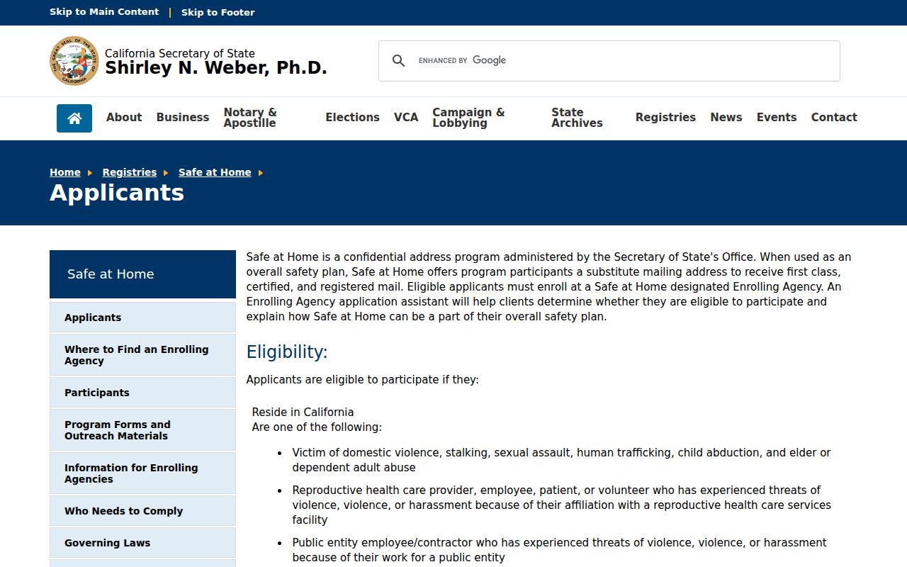
The substitute address supports mail service. It is not an invitation to infer the participant's location.
Walnut ZIP Voter File Rules
California's voter-file application describes who may request data, what a specific-voter request must identify, and what fields are excluded. Name, date of birth, registration date, residence and mailing address, precinct, party, permitted contact data, and status can appear for an approved purpose. Driver license data, Social Security fragments, unique voter identifiers, and signatures are excluded. Election history can show voting method, never ballot choice.
Image context: the California voter-file request rules are the source for this application capture. They define a regulated data product, not a ZIP code directory search box.
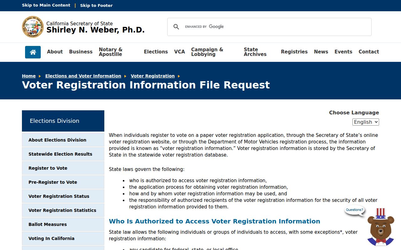
When the purpose does not qualify, stop with the self-status tool or use another record type that directly answers the question.
ZIP Boundaries Versus Walnut Limits
A ZIP code directory should end with a boundary statement. Walnut's city limit, a USPS delivery area, and a Census ZCTA are separate geographies. A result from 91789 can involve Walnut, Industry, Diamond Bar, Rowland Heights, Pomona, West Covina, or unincorporated land. A result from 91788 can describe the post office or a box. The street and city fields decide whether a record belongs to Walnut.
The research did not establish a Walnut quadrant system, systematic street renumbering chronology, or ZIP split or realignment history. Do not invent one to explain an address gap. Use the current USPS address lookup, the assessor's AIN, a tract plat, and the custodian's own coverage statement. A missing ZIP match may be a postal role, a city mismatch, a historical address, or a privacy restriction.
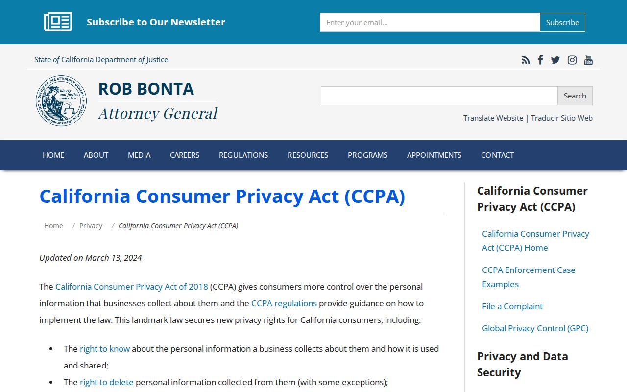
Image context: the California Attorney General's CCPA guidance is the source for this data-rights capture. Privacy rights can affect a private lookup result, but they do not redraw Walnut's ZIP geography.
Use geography and privacy controls together. A ZIP code narrows delivery, while a lawful official search supplies the record answer.