
Finding a Walnut Street Household
A Walnut street directory search works as a handoff between address records and name records. Start with a complete address, preserve the spelling exactly, and treat each parcel as its own research unit. The assessor can resolve the situs address to an AIN and show the parcel facts. The county's specific-property channel can then answer a limited ownership question. Only after a name and approximate year are known does the recorder's index become useful.
For a street-wide question, repeat the same process for each mapped parcel. Keep a worksheet with address, AIN, legal description, owner inquiry date, recording year, and source URL. The method is slower than a bulk list, but it avoids turning a property map into an invented household roster.
- Run the Walnut address through the Los Angeles County Assessor Portal and record the AIN and situs.
- Use Map Search or the parcel map to identify adjoining polygons and their AINs.
- Ask the Assessor about each specific property through its phone or contact route.
- Carry the exact owner name and an approximate year to the RR/CC grantor-grantee index.
- Use permits, voter rules, and a verified historical directory only for the narrower question each source can answer.
Resolve Walnut Parcels Online
The Assessor Portal has Basic Search, Legal Search, Map Search, and an Assessor Internet route. Basic Search uses one address or AIN autocomplete field. Legal Search accepts the assessment legal description. AINs are ten digits arranged as a four-digit map-book portion, a three-digit page portion, and a three-digit parcel portion. The portal result can show situs, use or type, status, tax-rate area, legal description, land and building size, units, beds and baths, year built or effective year, assessments, exemptions, event dates, document numbers, and a parcel map.
There is no public owner-name input. The Los Angeles County property-tax FAQ directs a person seeking a specific owner's name to call or visit the Assessor or submit a specific-property inquiry with the complete address or AIN. The county lists (213) 974-2111 and (888) 807-2111. This is the key difference between searching a Walnut street directory and browsing a public list. The online parcel record is detailed, but its identity field is intentionally gated.
| Portal control | Field or result | Use in a street search |
|---|---|---|
| Basic Search | Address or AIN autocomplete | Resolve a known Walnut parcel. |
| Legal Search | Assessment legal description | Bridge an older legal reference to assessment data. |
| Map Search | Parcel geometry and adjacent AINs | Walk a street segment one parcel at a time. |
| Owner name | Unavailable online | Use a specific-property phone, counter, or contact request. |
Image context: the Assessor parcel service is the source for this parcel-layer capture. It shows the address-to-AIN geometry behind the Walnut street directory.
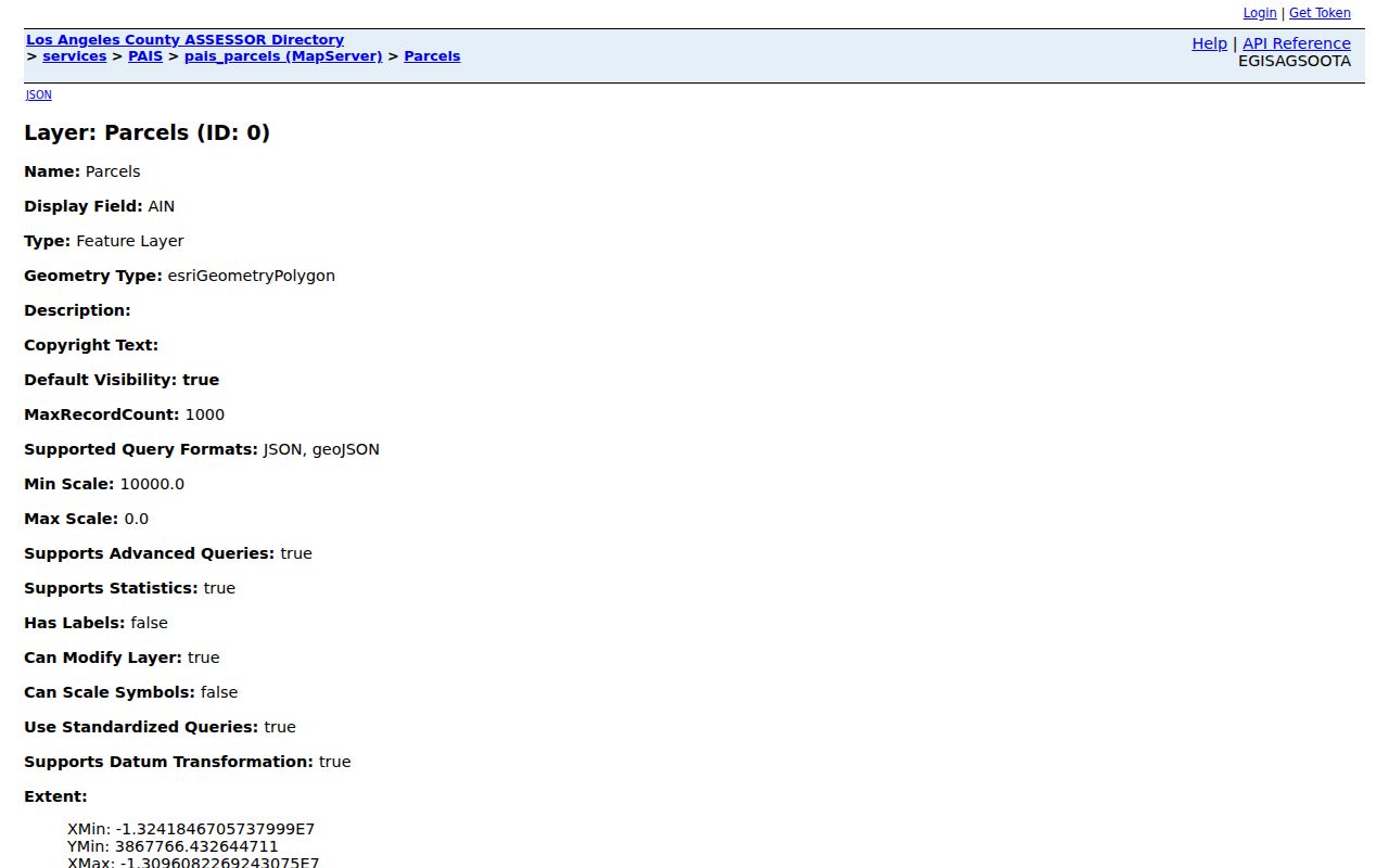
Use the map to identify parcels, not to infer people. An AIN is a property key, and the next name step comes through the county's specific inquiry process.
Walk a Walnut Street by AIN
After the first parcel is resolved, the map can pan, zoom, and select adjoining polygons. The public ArcGIS parcel service exposes geometry, formatted AIN, situs components, and a recent-sale flag. The sales layer adds sale date or price, size, bedrooms or bathrooms, year built or effective year, and use type. A response is capped at 1,000 records. Neither layer supplies a public owner name.
County Planning GIS-NET is a useful context tool. Its one autocomplete field accepts an AIN, address, or intersection and supports identify, query, buffer, draw, measure, export, reports, print, aerials, and Street View. Its planning and zoning emphasis is for unincorporated county territory. Do not transfer that authority to incorporated Walnut or describe a GIS-NET buffer as a Walnut city zoning result.
Image context: the Assessor sales-parcel service supplies the sale and building geometry source for the view below. It helps turn a street question into an AIN sequence without claiming a resident list.
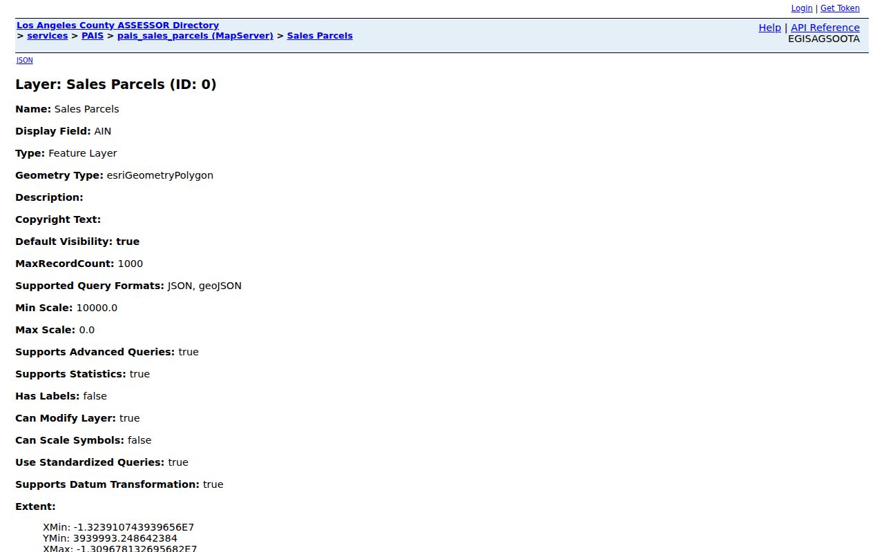
A careful street directory records each click, then obtains identity for each exact parcel through the correct county channel. That separation protects against errors from neighboring lots or shared street names.
Walnut Records Organized by Address
A street directory becomes useful when each record set is labeled by its real key. The assessor and GIS layers begin with address or AIN. Building and Safety follows a project address. The recorder follows grantor, grantee, and year. Voter data is purpose-limited and cannot be browsed by street. Historical directories follow name or formatted address only when Walnut coverage is demonstrated.
| Record set | Keeper | What it shows | Access route |
|---|---|---|---|
| Parcel and assessment | LA County Assessor | AIN, situs, legal, structure, value, events | Free address/AIN portal; owner by specific inquiry |
| GIS geometry and sales | Assessor ArcGIS | Adjacent polygons, situs, sale and building attributes | Free public query; no owner field |
| Recorded deeds and liens | LA County RR/CC | Grantor, grantee, date, legal description, document | Norwalk name/year index; paid copies |
| Permits and inspections | Walnut Building & Safety | Project, applicant or contractor, status, inspection | Phone, counter, or CPRA request |
| Tax default and auction | Treasurer-Tax Collector | AIN status and county auction lists | AIN search and published schedules |
The chain is address to AIN, AIN to specific owner, owner to recorder name and year, then document to legal description. A permit can date work, while a deed can establish a recorded transfer. Neither source identifies every person using the property.
Walnut Street Situs and Mailing
Situs is the physical parcel location. A mailing address is where tax correspondence is sent. The assessor portal foregrounds situs and may supply mailing information only through the lawful specific-property channel. A mailing address away from Walnut can suggest that the owner receives notices elsewhere, but it does not prove who occupies the parcel. Matching situs and mailing addresses still do not identify all residents.
That distinction matters for a Walnut street directory because ownership, occupancy, and household membership are different facts. Keep each in a separate column. Add the source date. If a result is a clue rather than a direct statement, label it as an inference. A property map is strongest for parcel geography, not for a complete list of names.
Image context: the Los Angeles County property-tax FAQ supplies the specific-property owner inquiry described here. The capture shows the proper fallback when an online parcel card does not expose the owner.
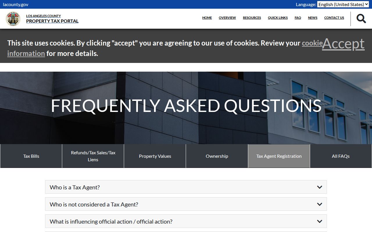
Use the exact address or AIN in the request. Avoid a broad demand for a street roster because the documented channel is specific-property research.
Walnut Deeds Need Names
The RR/CC index is where an owner name becomes a recorded instrument trail. Search the current owner as a grantee in an approximate acquisition year. A grantee receives an interest. Read the deed for its document number, recording date, grantor, grantee, legal description, and any AIN reference. Then search the grantor as a grantee in an earlier year. Repeat the handoff to move backward through the chain.
The recorder holds records from 1851-present, though one official page says since 1850. The physical research split is 1851-1957 on the lower level and 1958-present on the second floor. Search fees apply per name and year. Copies include the full document, not chosen pages. The recorder cannot search by a Walnut street address, and staff do not run index searches by telephone.
Recorded deeds can show a transfer or legal parcel. They do not promise the seller's later destination, and a mailing address in a purchased document should not be presented as a current home. Link the recorded document to the AIN and legal description before calling it part of a Walnut street directory history.
Walnut Address Permits
Walnut Building & Safety administers construction codes, plan review, permits, and field inspections. General information is available at (909) 595-7543. Inspection voicemail at (909) 598-5241 asks for the address of project, contact information, and type of inspection. The city supplies materials for solar, electric-vehicle charging, accessibility, electrical, HVAC, insulation, additions, kitchens, roofs, and shade structures.
No historical public permit database or coverage start date was verified. Ask the City Clerk for a CPRA response keyed to the exact address or AIN, permit type, and date span. The city may hold applicant, contractor, owner, inspection, and final-status facts, but a permit is evidence of a project. It is not evidence that every named person lived there.
The city's GoGov permit and license interface is another starting point, but its public-search behavior and historical coverage were not verified. Treat an application screen as a lead until the city confirms what the underlying file contains.
Image context: the Los Angeles County tax-default auction schedule is the source for this related address-record capture. It demonstrates why an exact AIN and county list matter before treating a public property event as local.
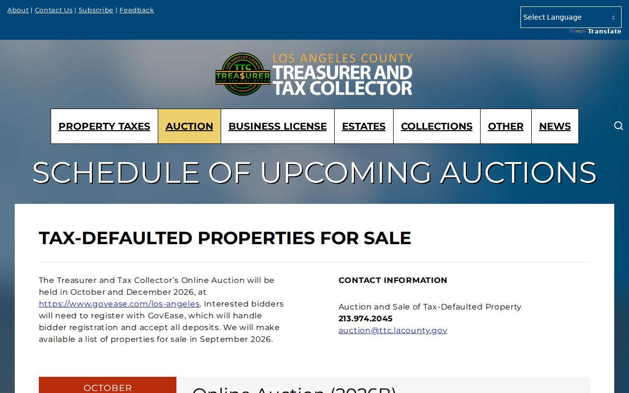
A countywide auction list needs an exact Walnut AIN check. It is not proof that a parcel is in a current Walnut event.
Walnut Street Tracts and Land
Old property references may name a tract or legal description rather than a modern street. Walnut examples include Three Oaks Tract 50867, Rodeo Ridge Estates Tract 48286, Camino de Teodoro Tract 72827, and Tract 26586. These names help connect a plat, block, lot, AIN, and current situs. The research did not verify stable current official map-document URLs for each tract, so the name is a research clue rather than a promise of a linked map.
Rancho descriptions came earlier still. Rancho La Puente and Rancho de los Nogales explain why a historical chain may move from land grant to subdivision plat before it reaches a street address. Keep the exact legal description when ordering a deed. That field can survive a street-name change or a re-numbering that breaks a plain address search.
Walnut Street Voter Limits
Los Angeles County's voter-status form requires last name, birthdate, house number, and ZIP. It is a self-verification tool. It cannot browse every voter on a Walnut street or list people within a ZIP. Full voter information is limited to approved purposes under Elections Code sections 2188 and 2194, and commercial use is prohibited. Safe at Home voters use confidential procedures.
A street directory should therefore record the limitation instead of promising an open voter roll. Historical poll books and registers can be requested through RR/CC or the State Archives, but exact Walnut years were not located. Use the voter channel only when the request fits its purpose and access rules.
Walnut Street Directory Coverage
LAPL holds reverse and street directories for 1906, 1927, and 1956-1987, along with broader U.S. directory film from 1861-1960 and Los Angeles runs. Much of that reverse material focuses on Los Angeles city-limit communities. The research did not prove a Walnut-specific publisher, year run, reverse-directory run, or obituary index. Search LAPL's holdings index with City or Community=Walnut and County=Los Angeles before treating a hit as local.
OCR can hide a result. A householder may carry an “h” prefix, a resident an “r,” and numbered streets can appear as “Ave 64” or “Avenue Sixty-Four.” “Broadway” and “Bway” may require separate searches. These tools can aid a past-household question, but the Walnut city directory collections page owns the historical shelf and its coverage caveats.
Walnut Street Directory Limits
No public Walnut street directory supplies every renter, household member, visitor, or delivery customer. DMV addresses are protected by the federal DPPA. Utility and delivery lists are not open street rosters. A Neighborhood Watch page explains how residents may join or organize, but no public membership roster is advertised. A mapped parcel owner is not a household, and ownership is not the same as residence.
Lawful use. Walnut address and property records are available for personal, lawful research within their stated access rules. Never use a name, parcel, or address trail to stalk, harass, intimidate, or harm another person.
For a one-person question, shift to a role-specific source and preserve the uncertainty. For the immediate block, use the Walnut neighbors lookup workflow. A complete street chain is a sequence of official records, not a promise that every person at every address can be identified.
- Parcel
- A mapped land unit with an AIN and assessment facts.
- Plat
- A recorded map that connects lots, blocks, tracts, and legal descriptions.
- Criss-cross directory
- A reverse address or street arrangement that may reveal a historical occupant only for covered places and years.
- Situs
- The physical location of a parcel, not necessarily the tax mailing location.