
Looking Up Walnut Neighbors
A block lookup has a clear first question: which parcels touch the subject parcel, and what public facts attach to each one? The Assessor map supplies geometry and situs. A specific inquiry can supply the owner for an exact parcel. The recorder adds names and roles through a deed index, while Building & Safety can add project history. These sources describe land, recorded activity, or a community contact. They do not make a complete list of everyone living nearby.
| Source | What it shows about a block | Access |
|---|---|---|
| Assessor map | Adjoining AINs, situs, parcel facts | Free address/AIN map; no owner web field |
| Specific-owner inquiry | Owner for one exact parcel and possible mailing detail | Assessor phone, counter, or contact route |
| Assessor ArcGIS layers | Geometry, address components, recent sale and building attributes | Free query; 1,000-record response maximum |
| RR/CC | Deed owners and recorded roles over time | Norwalk name/year index; paid copies |
| Building & Safety | Projects, applicants, contractors, inspections | Phone, counter, or CPRA request |
| Voter file | Limited approved-purpose registration data | No open block browse |
| Neighborhood Watch | Join and contact path for a community layer | No public member roster |
The block lookup is strongest when it labels which row answers which question. A polygon is not an owner. An owner is not a household. A community page is not a membership list. Keep those distinctions visible in notes and links.
Select a Walnut Neighbor Parcel
Run the Walnut address through the Los Angeles County Assessor Portal. Basic Search accepts the address or AIN. The result can show situs, legal description, building and land measurements, use or type, values, exemptions, recording events, and map geometry. Use the map to pan and zoom until adjoining polygons are visible. Select the subject parcel first and save its formatted AIN.
Record the subject address exactly as returned. A street name can have alternate forms, and a ZIP code can cross city lines. The AIN is the stable county parcel key for the next step. Do not begin by asking the recorder for a street list because RR/CC cannot search its real-estate index by address.
Image context: the Los Angeles County GIS-NET public map information is the source for this parcel-context capture. It shows map tools that can aid a block review, with the unincorporated planning caveat kept in view.
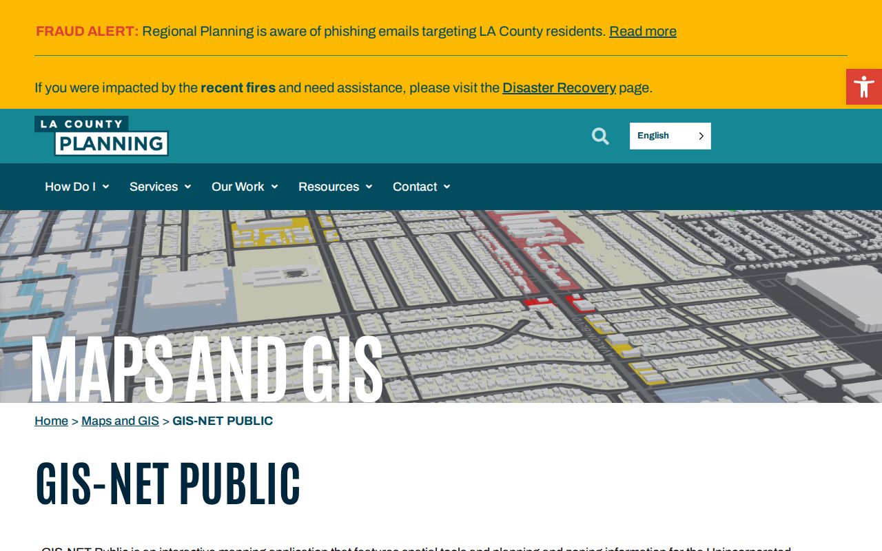
GIS-NET can support identify, query, buffer, draw, measure, export, report, print, aerial, and Street View tools. Its planning emphasis does not replace Walnut's incorporated-city parcel authority.
Walnut Adjacent Neighbor Parcels
After the subject polygon is saved, click each adjoining parcel separately and use “Get Parcel Detail” or its equivalent map result. Record AIN, situs, legal description, and any sale or building facts. A block may contain irregular lots, a road edge, a shared parcel, or a parcel that looks adjacent at one zoom level but is separated by a right-of-way.
Do not infer a name from the shape. The public ArcGIS parcel service exposes geometry, formatted AIN, situs address components, and recent-sale flags. The sales layer can add sale date or price, size, bedrooms or bathrooms, year built or effective year, and use type. It does not expose owners. The block is a spatial set, not a public household list.
For each exact parcel, use the Assessor's specific-property route if an owner question is lawful and necessary. Keep one request per parcel. That method is more faithful to the documented access channel than a broad demand for every neighbor.
Use Walnut ArcGIS for Neighbors
The Assessor ArcGIS parcel and sales services are useful because they expose map geometry in a repeatable form. A response may contain AIN, formatted AIN, situs components, parcel status, and selected sale or building attributes. Public responses are capped at 1,000 records. The map can help compare adjacent parcel size, shape, and recorded events without pretending that a geometry layer identifies the household.
County Planning GIS-NET has an explicit buffer tool, but its official planning and zoning emphasis is unincorporated county territory. The research did not verify an equivalent Assessor radius or buffer tool for incorporated Walnut. State the tool's jurisdiction every time a buffer appears in notes or a screenshot.
Ask About One Walnut Neighbor Owner
The county property-tax FAQ directs ownership questions to the Assessor's phone, counter, or specific-property contact form with a complete address or AIN. The county lists (213) 974-2111 and (888) 807-2111. The response may help connect an AIN to a name or mailing destination, but the situs and mailing address answer different questions.
Keep the owner result tied to the parcel and date. An owner may live elsewhere. A household may include people not named in a property record. A mailing address may point to another destination. A block lookup should never turn a property response into a statement about every Walnut neighbor.
Image context: the Los Angeles County Registrar-Recorder/County Clerk services page is the source for this county-custodian view. It shows the office family that receives recorded documents, while the Assessor remains the parcel owner inquiry point.
Use the recorder for deeds and recorded roles after a name and year are known. It cannot provide an address-based neighbor list.
Walnut GIS-NET Buffer Rules
GIS-NET accepts an AIN, address, or intersection in one autocomplete field and supplies identify, query, buffer, draw, measure, export, reports, print, aerial, and Street View tools. Those controls make it useful for geographic context around a Walnut address, especially near unincorporated pockets. They do not transfer county planning authority into incorporated Walnut.
A buffer is a shape around a selected feature. It does not create an official neighbor boundary, and it does not reveal every person in that shape. Use the Assessor parcel map for incorporated Walnut parcel geometry, then use GIS-NET only for the documented planning context. The source, jurisdiction, and tool should remain in the note.
Walnut Ownership and Households
Ownership is not the same as residence. Renters, household members, visitors, and caregivers are not indexed by parcel ownership. DMV addresses are closed under the federal DPPA, and utility or delivery customer lists are not public block directories. Homeowner exemption information can support an owner-occupancy inference, but it does not identify a full household.
Keep the language exact. Say “recorded owner,” “parcel,” “mailing destination,” or “project applicant” when that is what the source says. Say “resident” only when a source directly supports the dated claim. A Walnut neighbors lookup improves when it leaves unsupported names out.
Walnut Watch Has No Roster
Neighborhood Watch is the verified citywide community layer. Any resident may join, and a small planning committee works with the LASD community-relations officer. Deputy McDonald is listed at cmcdona@lasd.org, and the Walnut/Diamond Bar Sheriff's Station number is (909) 595-2264. The official program page explains how to join or organize; it does not advertise a public member roster.
Other local names need the same care. Friends of Walnut Library is volunteer-run and has no public member list in the research. The Walnut Senior Club is a community contact for people age fifty and older, with $10 annual dues and Wednesday 1 p.m. meetings at Walnut Senior Center, but it is not a membership database. Lemon Heights, Brookside, The Terraces at Walnut, Alamo, Walnut Business Park, and Walnut Mixed-Use Project are place or development names, not assumed associations.
| Community layer | Verified contact or status |
|---|---|
| Neighborhood Watch | Deputy McDonald, cmcdona@lasd.org; station (909) 595-2264; no public roster. |
| Friends of Walnut Library | Volunteer support and programs; no public member roster advertised. |
| Walnut Senior Club | Age 50+, $10/year, Wednesday 1 p.m.; Senior Center (909) 598-6200; not a directory. |
Image context: the LASD records request channel is the source for this law-enforcement contact illustration. It is a records route, not a Neighborhood Watch membership list.
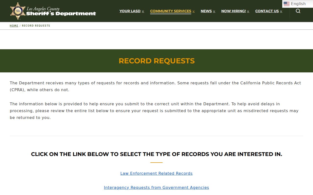
Use the city or station contact path to join a community program. Do not seek a private roster through a public-record request.
Walnut Voter Block Limits
The Los Angeles voter-status form uses last name, birthdate, house number, and ZIP for self-verification. It does not allow a visitor to browse the Walnut block. Full voter data is limited to approved purposes, and Safe at Home voters use confidential procedures. A voter-file application may include residence, precinct, party, and status for an approved purpose, but it excludes driver license data, Social Security fragments, unique voter identifiers, and signatures.
Historical poll books and registers can be requested through RR/CC or State Archives, but exact Walnut years were not located. Do not replace an unavailable block roster with an assumption from a parcel map. The legal and privacy limits are part of the answer.
Walnut Block Records Requests
When a city-held fact is not online, the California Public Records Act supplies a request route. Walnut City Clerk requests can be made by phone at (909) 348-0710 or (909) 348-0711, by email to tdedios@cityofwalnut.org, or in person at City Hall, 21201 La Puente Road. The city says there is no request fee, though direct duplication cost may apply. It determines within ten calendar days whether responsive disclosable records exist and estimates availability.
Name the exact address or AIN, record type, date range, and preferred format. Building and Safety may hold permits, plans, inspections, applicants, contractors, and final status. The city has not published a historical permit-search date range, so a CPRA request should not promise a particular archive. Specialized voter, court, vital, DMV, and sealed records rules still control.
Image context: the California Public Records Act determination rule is the source for this response-timing capture. Ten days concerns the agency's determination, not automatic delivery of every record.
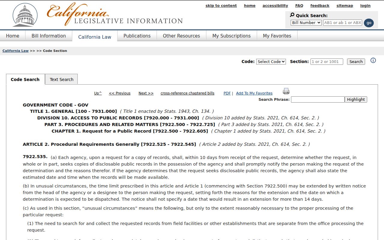
A focused request gives the custodian a usable parcel and time window. It does not create an open block directory.
Privacy Limits on Neighbor Lookup
Safe at Home can provide a substitute mailing address, mail forwarding, confidential voter registration, and agent-for-service functions for qualifying participants. It does not erase already-public data, and a deed's legal description may still locate land. A block search must never use public clues to reverse-engineer a protected participant's real address.
Official rolls and commercial neighbor tools also differ. County and city records name their keeper, record type, date, and access rule. Private compilations may mix public and broker data, merge same-name people, or show stale information. Use the official source first and keep an uncertainty note.
| Question | Official block source | Private compilation |
|---|---|---|
| What is mapped? | AIN, situs, geometry, project, or recorded role | Mixed data with unclear source date |
| Who controls it? | Named Assessor, RR/CC, city, court, or state office | Private operator |
| How is an error handled? | Ask the custodian to explain or correct its record | Use provider removal or correction route |
A Walnut neighbors lookup is complete when it explains the block, the source, and the stopping point. The record trail should make people safer, not more exposed.